Driving Distance & Travel Time Calculator
Calculate instantly
Demo Mode
Welcome, Demo!
⭐ PERSONAL Plan
Account
Sign Out
Plan Your Route
DEMO:
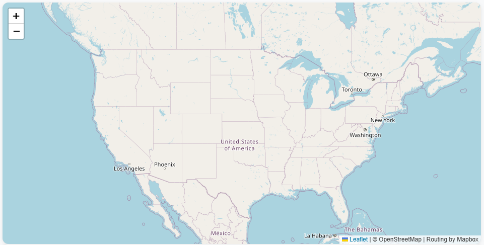
See Calgary → Guadalupe Mountains sample search, calculating below...
From
To
Measurement
Miles
Kilometers
Calculate Route
Clear
This is a demo - map navigation is not enabled
DEMO:
Click the "Print Route" button to view printer-optimized output
DISTANCE:
1,734.5 miles
DURATION:
26 hours 28 minutes
FROM:
Calgary, Alberta, Canada
TO:
Guadalupe Mountains National Park, Texas, United States
Print Route
RECOMMENDED ROUTE
1
Drive north on 2 Street SW.
0.2 mi
2
Turn right onto 5 Avenue SW.
0.8 mi
3
Turn right toward Memorial Drive East.
1.4 mi
4
Take the 2 South ramp toward Deerfoot Trail.
7.5 mi
5
Keep left to stay on 2.
95.1 mi
6
Keep left to take 3 East toward 2 South/Fort Macleod/Lethbridge/Cardston.
3.4 mi
7
Keep left to stay on 3.
28.2 mi
8
Keep right to take 3 East toward Crowsnest Trail/1 Avenue South/City Centre.
0.2 mi
9
Keep left to stay on 3/Crowsnest Trail.
3.5 mi
10
Turn right onto 4/43 Street S.
2.1 mi
11
Keep left to take 4 South/15 toward Canada/US Border.
0.1 mi
12
Turn left onto 4/Highway 4.
180.1 mi
13
Take exit 278 onto US 89 South/MT 200 East.
25.9 mi
14
Enter the roundabout and take the 2nd exit onto MT 200.
64.6 mi
15
Turn right onto US 191/MT 3.
39.2 mi
16
Turn left onto US 12/MT 3.
45.0 mi
17
Turn right to stay on MT 3.
40.4 mi
18
Enter the roundabout and take the 2nd exit onto MT 3.
2.8 mi
19
Stay straight to take the ramp.
0.2 mi
20
Bear left.
0.1 mi
21
Enter the roundabout and take the 2nd exit onto Airport Road.
2.9 mi
22
Turn right onto US 87.
0.7 mi
23
Turn left onto I 90 Business/US 87/US Highway 87 East.
1.3 mi
24
Turn left to take the I 90 East ramp.
3.4 mi
25
Keep right to stay on I 90 East toward Sheridan.
156.1 mi
26
Take exit 56B onto I 25 South toward Casper.
405.5 mi
27
Keep left to stay on I 25 South.
55.7 mi
28
Keep left to stay on I 25 South.
37.5 mi
29
Keep left to stay on I 25 South.
43.2 mi
30
Keep left to stay on I 25 South.
179.5 mi
31
Take exit 339.
0.2 mi
32
Turn left onto US 84.
41.7 mi
33
Continue on State Road 219/NM 219.
15.2 mi
34
Turn right onto US Highway 54/US 54. Continue on US 54.
19.9 mi
35
Turn left onto US 285.
89.2 mi
36
Take the exit.
0.4 mi
37
Keep right to stay on US 285 Truck.
15.2 mi
38
Take the US 285 exit.
63.6 mi
39
Turn right onto Happy Valley Road/NM 524.
12.3 mi
40
Turn right onto US 62/US 180/National Parks Highway. Continue on US 62/US 180.
49.6 mi
41
Turn left onto Parkview Lane.
0.4 mi
42
You have arrived at your destination.
0.0 mi
Copy Route
Print Route
↑ Return to Top
×
Ready to Get Started?
Unlock the calculator's features. Plans starting at $59/year.
View Plans
Continue Demo